It was part of Soroti District until 2000 when it became a district. At independence in 1962, present day Soroti, Kumi, Katakwi and Kaberamaido constitute Teso District. The main language is Ateso, Kumam and Kiswahili.
LOCATION
It boarders Soroti in the East, Lira in the West, Kamuli in the South and Katakwi in the North-east.
POPULATION
The district has over 122,924 people, 62,855 of which are female and 60,069 are male.
ECONOMIC ACTIVITIES
There Agriculture with main emphasis on food crops such as millet, potatoes, beans, Simsim and sunflower. Cash crops like cotton. There fruits and vegetables like Tomatoes, vegetables and Onions.
TRANSPORT NETWORK
Kaberamaido has a poor road network. Feeder roads do not exist in some parts of the district greatly hindering transport.
EDUCATION SERVICES
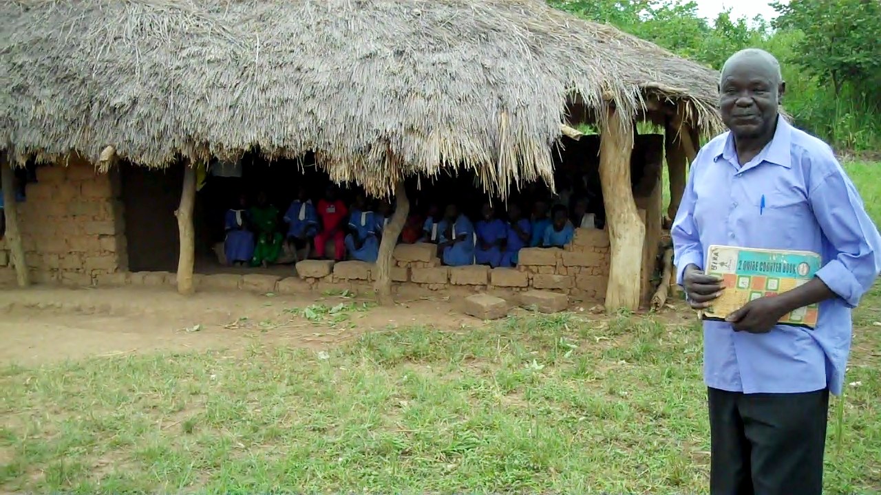
The district has a total of 86 primary schools with 79 government and 7 community schools. For secondary schools, the district has over 15 schools, 5 are government, 3 private and 7 community.
HEALTH SERVICES
There is no Government dispensary, 7 health centres at county level, 1 health centre at sub-county level. There are 2 private/NGO dispensaries, 1 clinic and no health centre.
TOURIST ATTRACTIONS
There is Lake Kyoga where fishing is carried out.

 Posted in

